 Meadow Folk
9 Smoky Mountains Photo Spots, in the Order the Light Lands
By Travel Planner & Researcher · Updated October 21, 2026
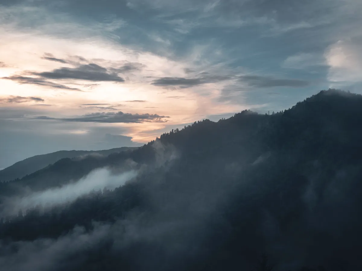
The Smokies reward people who get up early. Fog sits in the valleys at dawn and burns off within about forty minutes, which is the whole reason a 5am alarm turns a decent overlook into the shot you came for. Below are the nine spots that actually deliver, ordered so you hit them while the light is still low. Great Smoky Mountains National Park charges no entrance fee. A parking tag is required for all vehicles parking longer than 15 minutes anywhere in the park, and the tag is not location-specific.
The stops, in order
1. Cades Cove
- Photo spot:
- Stand at the far end of the loop, past the second bridge, looking back down the valley. The fog pools here longest, and the deer usually cross the open field while it is still low.
- Eat:
- Nothing inside the cove — pack breakfast. On the drive out, Townsend has a handful of diners that open early enough to catch you on the way back.
- Cost:
- No entrance fee. The Cades Cove loop road is an 11-mile, one-way loop, and it is open from sunrise to sunset each day.
- Note:
- The Cades Cove Loop Road is closed to vehicles each Wednesday typically from May through September. Check the day you picked before you drive out. Allow at least two to four hours to tour Cades Cove. Arrive 30–45 minutes before sunrise.
2. Kuwohi (formerly Clingmans Dome)
- Photo spot:
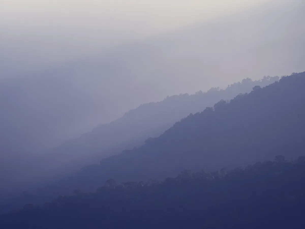
- From the observation tower, shoot back down the ridge line toward the spruces. On a clear morning you get layered blue ridges for miles; on a hazy one the fog erases them into flat grey bands.
- Eat:
- Nothing at the top. Gatlinburg is 30 minutes down the road.
- Cost:
- No entrance fee.
- Note:
- Kuwohi (formerly Clingmans Dome) is the tallest peak in the Smokies. The walk to the Kuwohi observation tower is a one-mile round trip on a steep paved path from the parking area. Kuwohi Road (formerly Clingmans Dome Road) is a two-lane paved road from Newfound Gap Road to the Kuwohi Visitor Center and Overlook, and it is subject to closures for snow, ice and other hazardous weather.
3. Morton Overlook
- Photo spot:
- The classic pull-off on Newfound Gap Road. Shoot east across the stacked ridges with the road curving out of the lower-left frame.
- Eat:
- Nothing here. This is a five-minute stop between bigger spots.
- Cost:
- No entrance fee. Roadside parking.
4. Carlos Campbell Overlook
- Photo spot:
- Carlos Campbell Overlook is the first overlook on Newfound Gap Road (US 441) when traveling south from Sugarlands Visitor Center. It is the one pull-off to plan around — Carlos Campbell Overlook is temporarily closed while maintenance crews assess cracks in the pavement and sidewalk. Shoot the stacked ridges from the pull-offs either side of it instead.
- Eat:
- Nothing here.
- Cost:
- No entrance fee. Roadside parking.
5. Sugarlands Valley
- Photo spot:
- The quiet wooded trail near the visitor center. Best in the first hour after sunrise, when shafts of light come through the hardwood canopy.
- Eat:
- Gatlinburg, ten minutes away, for anything after.
- Cost:
- No entrance fee.
- Note:
- The Sugarlands Loop Trail is a half-mile, flat, paved loop past streamside views, rock walls and historic stone chimneys. Sugarlands Visitor Center hours vary seasonally.
6. Foothills Parkway West
- Photo spot:
- The unfinished parkway outside Townsend gives you high, unobstructed views across the valley with almost no one else there. Sunset works as well as sunrise here.
- Eat:
- Townsend on the way back down.
- Cost:
- No entrance fee. Foothills Parkway East and West are on the Tennessee side of the park, with Sugarlands Visitor Center between the two sections and Cades Cove Visitor Center nearer the west section.
- Note:
- Primary roads in the park, including Newfound Gap Road, Little River Road and Laurel Creek Road, are open 24 hours a day year-round, weather permitting, and secondary roads are closed seasonally. Check the segment you want before you drive it.
7. Oconaluftee, at the Cherokee end
- Photo spot:
- The Mingus Mill area and the river beside it. The Mingus Mill interior is temporarily closed for preservation and rehabilitation work, and visitors can still walk around the outside. The old mill still gives the frame a subject that is not another mountain.
- Eat:
- Cherokee, a few minutes south.
- Cost:
- No entrance fee. Mingus Mill is inside the park, 2 miles north of Cherokee, North Carolina, on US 441.
- Note:
- Oconaluftee is the southern gateway to the Smokies, next to Cherokee, North Carolina.
8. Roaring Fork
- Photo spot:
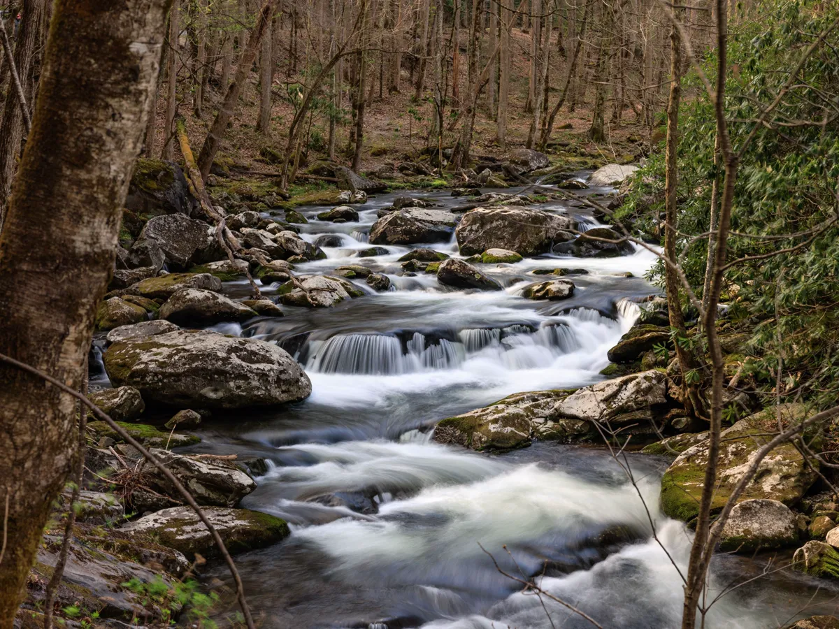
- The narrow motor nature trail. Water over stone, mossy trees, and light that stays soft under the canopy most of the morning.
- Eat:
- Gatlinburg, immediately after.
- Cost:
- No entrance fee. The Roaring Fork Motor Nature Trail is a one-way road spanning 5.5 miles. On the Roaring Fork Motor Nature Trail, motorhomes, buses and vans longer than 25 feet are prohibited, and so are passenger vehicles towing trailers.
- Note:
- The hike to the Roaring Fork falls is a 5.4-mile round trip and is considered moderately strenuous. Parking at the Roaring Fork trailhead is very limited. The Roaring Fork Motor Nature Trail runs as a one-way road on a seasonal schedule, so check the park's seasonal road table for the current opening dates.
9. Newfound Gap itself
- Photo spot:
- Newfound Gap sits at 5,046 feet and is the lowest drivable gap through Great Smoky Mountains National Park. Stand on the overlook looking south into North Carolina; on a clear morning the view runs for a very long way.
- Eat:
- Nothing here.
- Cost:
- No entrance fee. Newfound Gap is on Newfound Gap Road (US 441), reachable from Cherokee, North Carolina or Gatlinburg, Tennessee.
What it actually looks like
Where this starts
Questions people ask
What time should I get to Cades Cove for sunrise?
Plan to be parked 30 to 45 minutes before the posted sunrise time. The Cades Cove loop road is an 11-mile, one-way loop, and it is open from sunrise to sunset each day. The Cades Cove Loop Road is closed to vehicles each Wednesday typically from May through September. Check which day you picked. Allow at least two to four hours to tour Cades Cove. The spot you want at first light needs to be the spot you start at, not the one you drive to afterwards.
Do I need a pass or permit for any of these spots?
No permit, and no entrance fee either. Great Smoky Mountains National Park charges no entrance fee. None of the overlooks listed here need a permit. A parking tag is required for all vehicles parking longer than 15 minutes anywhere in the park, and the tag is not location-specific. That tag is the only thing to buy.
Is Kuwohi open year-round?
Kuwohi (formerly Clingmans Dome) is the tallest peak in the Smokies. The walk to the Kuwohi observation tower is a one-mile round trip on a steep paved path from the parking area. Kuwohi Road (formerly Clingmans Dome Road) is a two-lane paved road from Newfound Gap Road to the Kuwohi Visitor Center and Overlook, and it is subject to closures for snow, ice and other hazardous weather. Check the park's road status page on the morning you plan to drive it.
Which spot works if the morning is completely overcast?
Roaring Fork and Sugarlands Valley. Under heavy cloud the overlooks flatten out into grey, but the wooded trails keep their contrast and the water keeps moving, so you still come back with something usable.
Where these facts come from
- National Park Service · Great Smoky Mountains basic information · last verified October 21, 2026
- National Park Service · Great Smoky Mountains fees and passes · last verified October 21, 2026
- National Park Service · Cades Cove · last verified October 21, 2026
- National Park Service · Kuwohi (formerly Clingmans Dome) · last verified October 21, 2026
- National Park Service · Great Smoky Mountains seasonal roads · last verified October 21, 2026
- National Park Service · Carlos Campbell Overlook · last verified October 21, 2026
- National Park Service · Great Smoky Mountains temporary closures · last verified October 21, 2026
- National Park Service · Sugarlands · last verified October 21, 2026
- National Park Service · Foothills Parkway · last verified October 21, 2026
- National Park Service · Mingus Mill · last verified October 21, 2026
- National Park Service · Great Smoky Mountains visitor centers · last verified October 21, 2026
- National Park Service · Oconaluftee Visitor Center · last verified October 21, 2026
- National Park Service · Roaring Fork Motor Nature Trail · last verified October 21, 2026
- National Park Service · Newfound Gap Overlook · last verified October 21, 2026
Hours, fees and road status change without notice, so check the official page before you drive.